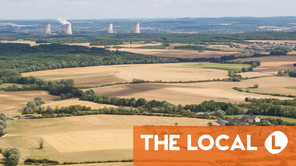
France experienced its hottest July on record in 2026, Météo-France said. Rainfall was nearly 70 percent below average, making it one of the driest months ever recorded.
France's biodiversity agency has issued a stark warning over what it describes as a "historic and critical" drought affecting the country's rivers, saying conditions are now worse than during the record-breaking drought of 2022. Here are several maps that demonstrate the current situation in the country.
In its latest assessment, published on Monday, the French Office for Biodiversity (Office français de la biodiversité - OFB) said monitoring carried out across the country revealed an unprecedented deterioration in the condition of small rivers and streams by the end of July.
July was France's hottest month on record
In total 60 percent of French départements have now imposed 'crisis' level water restrictions.
Each month, the OFB publishes a map of flow conditions in small streams based on data from the National Low-Flow Observatory (ONDE), which relies on field observations made by OFB staff.
According to the agency, the current situation is the most critical ever recorded for this time of year since monitoring began in 2012.

This early drought is affecting the flow of larger rivers downstream, reducing both the quantity of available water and its quality.
On the map, the blue dots show where water is still flowing and visible to the naked eye, orange is where the water is still somewhat present with puddles instead of streams and the red dot shows where the water has evaporated.
The OFB said every region of metropolitan France has been affected, although conditions are particularly severe along a corridor stretching from Vendée in western France to the Grand Est region in the east, as well as parts of south-central France.
Among the departments identified as especially vulnerable are Creuse, Vendée, Loire-Atlantique, Aveyron, Côte-d'Or, Nièvre, Deux-Sèvres and Charente-Maritime.
According to the National Low Water Observatory (Observatoire national des étiages - ONDE), 1,373 rivers and streams were either no longer flowing or had completely dried up as of August 1st. That represents an increase of 554 waterways in just one month.
The agency said 43 percent of monitored sites are now affected, making it "the most critical situation ever recorded for this time of year". It is worse than the exceptional drought experienced in 2022, with 112 more dried-up waterways, and around twice as severe as the situation recorded in 2025.
 The National Low Water Observatory map as of August 1st. (Map: Observatoire national des étiages)
The blue dots show a visible water flow while the orange dots show no water flow.
Overall, France is facing an “exceptional” and “highly worrying” drought, said the Minister of Ecological Transition Monique Barbut during a crisis unit meeting at the ministry. She highlighted, in particular, the record number of départements affected by water restrictions at a particularly early stage.
Almost the entire country faces some level of drought warning, with 61 départements at "crisis" level, where water is reserved for priority uses.
EXPLAINED: Just how bad is the 'exceptional' drought in France this July?
In France, water restrictions are imposed by the municipality - rather than on a département level - and there are four levels, ranging from a 'warning' with no restrictions to 'crisis ', which is a ban on all non-priority water usage.
 Départements under water restrictions as of August 6th. (VigiEau)
You can check to see if your area is under water restrictions by going to the French government website vigieau.gouv.fr and typing in your address. The website will inform you of what (if any) restrictions are in place, as well as offering government advice for how to decrease your water usage.
READ MORE: EXPLAINED: How to check water restrictions in your area of France
You can also sign up for email alerts from the vigieau.gouv.fr website, which will inform you of any new water restrictions in your area. You can sign up here.
As a result of the climate crisis, droughts are becoming more frequent and starting earlier in the year.
In response, the French government continuously measures groundwater levels (nappes phréatiques) and river flows, publishing an updated map showing the groundwater situation at the start of each month, which can serve as an indication of which areas are at greater risk of drought.
 Screenshot of groundwater table map as of July 2026. Credit: BGRM
Locations in blue are considered to have average to above-average underground water levels, while those in orange and red do not have a sufficient level of groundwater.
While groundwater levels naturally decrease during summer, this year's unusually low levels are due to a combination of prolonged heat, below-average rainfall, and high water withdrawals for drinking water, agriculture, and industry.
Conditions are already more strained than at the same time last year, and continued dry weather is expected to cause further declines through August and September.
Different types of drought
Scientists distinguish between three different types of drought, each affecting the country differently. The first is meteorological drought, which occurs when a region experiences significantly less rainfall than normal over an extended period.
This lack of precipitation, combined with high temperatures that increase evaporation, is often the starting point of a drought.
If the dry weather continues, it can lead to agricultural drought, when there is not enough moisture in the soil for crops, grass and other vegetation to grow properly.
This is the type of drought currently affecting many parts of France, where repeated heatwaves have dried out the upper layers of soil. Even if rivers and reservoirs still contain water, plants can struggle because there is insufficient moisture in the ground.
The most severe stage is hydrological, or hydrogeological, drought, which develops after a prolonged period of low rainfall. Hydrological drought refers to falling water levels in rivers, lakes and reservoirs, while hydrogeological drought affects underground aquifers that supply drinking water.
Because groundwater takes much longer to recharge than surface water, this type of drought can persist for months, or even years, after rainfall returns.
READ ALSO: Drought: Could tap water run out in France this summer?
What do the various levels of water restrictions mean?
Level 1 - vigilance (pale yellow on the map). The first step is issuing a drought warning. This doesn't bring in any restrictions, but lets residents know that there is a risk of drought and restrictions could be introduced soon.
Level 2 - alert (orange). The lowest level of alert mainly concerns farmers, who must reduce their water usage by 50 percent. Watering of public green spaces such as golf courses is restricted, and for households, there are limits on car washing, while gardens can only be watered at certain times (usually evening).
Level 3 - alert renforcée (light red). Further restrictions on agricultural water usage and a total ban on household activities such as car-washing and watering lawns or flower beds (watering of vegetable gardens is still permitted during certain hours).
Level 4 - crise (dark red). Ban on all non-priority water usage. Households can use water for drinking, cooking and washing.
Communes at the crise level can impose other restrictions if the situation requires it - up to and including limiting the amount of water households can use per day. In extreme cases where the water runs out totally, local mairies are responsible for distributing drinking water to households.
You can find a fuller explanation of what being on a crise level warning means HERE.