
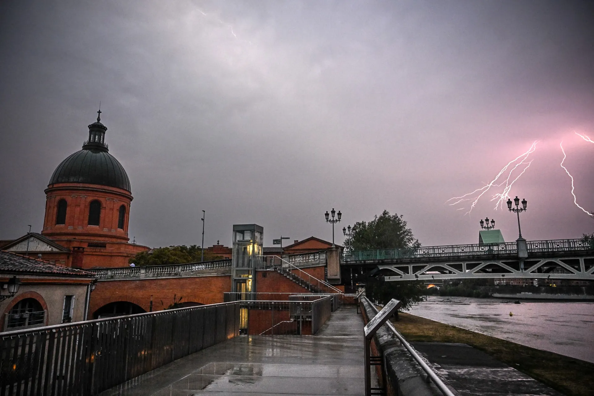
Forecasters have warned that France is set to bake under a fourth heatwave of the summer from next week. But first come the storms.
One final hot day in the south of France on Friday – with temperatures climbing as high as 39C in parts of the Occitanie region, and climbing in inland Brittany, the Vendée, Centre-Val de Loire, Île-de-France, and Bourgogne-Franche-Comté – before a brief change in the weather, with storms set to spread across the country from the west.
Weekend
Locally thundery showers are forecast in the south west region of Nouvelle-Aquitaine from Friday evening, developing into a significant storm system that is expected to spread across southern regions into Saturday, particularly in Occitanie, Auvergne-Rhône-Alpes, and Provence.
By Saturday evening and overnight into Sunday, these storms will move towards the Alps, Riviera, and Corsica, bringing heavy rain.
“These storms may be accompanied by intense rain, strong wind, and hail, particularly in the south-east and Corsica,” according to Météo-France, “[and] rainfall totals could be locally significant.”
The forecaster warned that heavy rainfall on parched land may lead to localised flooding and overflowing rivers.
On Sunday, a weak band of rain in Brittany and along the Channel coast, is set to spread across a large part of the north and north-west during the day, before reaching a line stretching from the Basque Country to the Alps, but will be accompanied by a drop in temperatures, to below 30C for large parts of the country apart from Mediterranean areas and Corsica.
Monday
Calm, sunny conditions are expected to dominate again once the storm system has passed, with temperatures initially around seasonal norms – but the mercury is expected to rise quickly. By the second half of the week, the heat is expected to be intense across most of the country.
Tuesday and Wednesday
A mass of subtropical air will move rapidly up from the south-west from Tuesday, before covering three-quarters of the country on Wednesday.
Temperatures could reach 35C to 40C in many regions as another high-pressure system settles over Central Europe, while an Atlantic low-pressure system will move towards the Azores, drawing a mass of subtropical air directly from Morocco towards France.
The south-west and central regions are forecast to be most affected by the rise in temperatures.
Although weather warnings are only put in place 48 hours in advance, it is likely that heatwave alerts will be issued to large parts of France from the middle of the week.
Rest of the week
This far out, forecasters are not ready to say how long France’s fourth heatwave will last because the models don’t agree.
Some suggest that a second storm system could move across the country after July 31st, while others indicate that it could last right through the first week of August, with the storm system stalled over the Atlantic.
France has already seen three nationwide heatwaves so far this year - an unusually early heatwave gripped the country in May, then June saw an extremely intense and long-lasting canicule that resulted in more than 5,000 deaths, before a third heatwave struck at the beginning of July.
READ ALSO: In numbers: Yes, summers in France really are getting hotter