Most of France has emerged from its third heatwave in just two months, with temperatures finally easing across most of the country - so what's in store for the weeks ahead?
Although the south east of France is still experiencing very high temperatures, most of the rest of the country has returned to seasonal summer norms - but forecasters (and French residents) are already watching to see whether another spell of extreme temperatures could develop later this summer.
July
The various reports suggests France will remain warm and largely dry throughout the end of July, but meteorologists say the chances of another nationwide heatwave before August remain relatively low.
For the week marking the transition from July into August, forecaster Météo-France expects temperatures to stay above seasonal norms, although not to the same extent as during the recent heatwaves.
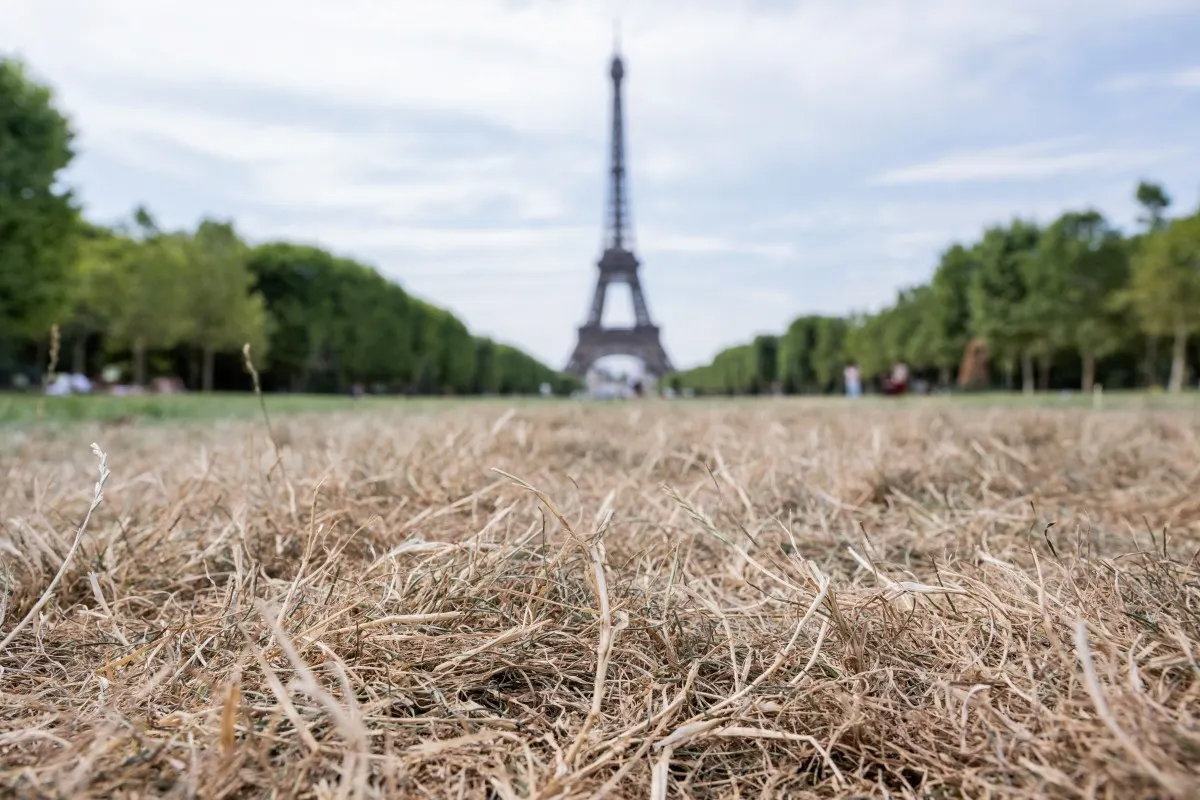
The forecaster also said conditions could become slightly more humid in some areas. However, the ongoing drought affecting parts of France is expected to continue despite the modest change in weather.
According to weather forecast La Chaîne Météo, the risk of a new national heatwave before the end of the month is around 15 percent. The probability is lower in northwestern France, where Atlantic air is expected to keep temperatures cooler, but rises to between 25 and 45 percent in the south, particularly in southeastern regions.
LATEST: Maps of all the water restrictions in place in France
Current forecasts do not point to the return of the high-pressure "heat dome" that fuelled recent heatwaves.
What about August?
Long-range forecasts become increasingly uncertain beyond two weeks, but meteorologists have not ruled out another heatwave later in the summer.
La Chaîne Météo said current weather models indicate another period of very hot weather could develop during the week of August 3rd to 9th if southern winds once again draw hot air north from the Iberian Peninsula.
Under this scenario, much of France would experience hot, dry and sunny conditions. However, forecasters stress that even small shifts in atmospheric pressure patterns could significantly alter the outcome.
The European Centre for Medium-Range Weather Forecasts (ECMWF) also predicts above-average temperatures during early August, with the highest expected in central and eastern France, where temperatures could run between three and six degrees above seasonal averages. Elsewhere, temperatures are forecast to be between one and three degrees above normal.
Météo-France's broader outlook for the first half of August simply states that temperatures are likely to remain generally above seasonal averages.
Why has France seen so many heatwaves in recent weeks?
The heatwaves that affected France in May, June and July were all driven by a similar weather pattern known as an "omega block."
This occurs when a large high-pressure system becomes trapped between two low-pressure systems, preventing cooler Atlantic weather from moving across France. The blocked high pressure then draws hot air northwards from North Africa and the Iberian Peninsula, creating what is commonly known as a 'heat dome'.
Western Europe is particularly vulnerable to this pattern. When high pressure extends across the Atlantic, it cuts off the ocean's cooling influence and allows increasingly hot air to build over France.
READ ALSO: Why is Paris so dangerous during a heatwave?
In the longer term, man-made climate change is making heatwaves more frequent, more intense and starting earlier in the year.
Climate scientists judged that the exceptional - and deadly - heatwave that hit France in June would have been "virtually impossible" without global warming.
READ ALSO: In numbers: Yes, summers in France really are getting hotter